
CORZ Indonesia | Research & Studies
From Currents to Waves: Understanding How the Ocean Evolves through Time
Check out some other model outputs on YouTube @CORZIndonesia
Indonesia sits within one of the world's most complex interconnected marine regions.
Its waters connect the Indian Ocean, Pacific Ocean, South China Sea, Java Sea, Makassar Strait, Banda Sea, Arafura Sea, and numerous straits and passages throughout the Southeast Asian archipelago.
This marine environment is never static.
Currents change.
Waves grow, propagate, and decay.
Sea-surface temperature develops spatial structures.
Sea level rises and falls.
Atmospheric forcing continuously modifies the system.
Modern oceanography therefore asks not only:
“What is the ocean doing now?”
but increasingly:
“How will marine conditions evolve over the coming days?”
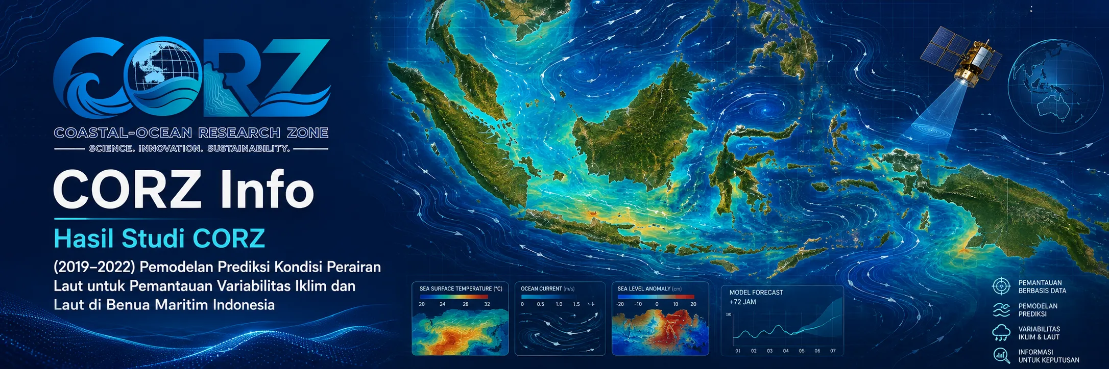
Between 2019 and 2022, CORZ Indonesia conducted a series of Research & Studies involving predictive numerical modelling of marine conditions across Southeast Asia and surrounding waters.
The modelling included:
- Hydrodynamic Current Circulation — 1–4 October 2019
- Current Circulation + Sea Surface Temperature — 12–21 October 2019
- Current Circulation + Wave Height — 12–21 October 2019
- Current Circulation + Sea Level — 12–21 October 2019
- Significant Wave Height + Wave Direction — 12–21 March 2022
- Current Circulation + Sea Surface Temperature — 12–21 October 2022
Together, these simulations form a multi-parameter framework:
CURRENT × WAVE × TEMPERATURE × SEA LEVEL × SPACE × TIME
The objective is not merely to model individual variables.
It is to develop a more integrated understanding of the marine state.
From Local Modelling to Regional Ocean Modelling
A local coastal problem may require a detailed local model.
A harbour needs high spatial resolution.
An industrial outfall requires detailed receiving-water analysis.
A sediment plume requires accurate representation near its source.
Regional marine prediction requires another perspective.
LOCAL MODELLING
asks:
What happens here?
REGIONAL MODELLING
adds:
How is this location connected to the wider ocean system?
The 2019–2022 CORZ studies expanded the modelling perspective across Southeast Asia and surrounding seas.
This provides a framework for representing the regional processes that connect Indonesia's individual seas and straits.
Current Circulation: The Ocean's Transport Network
The October 2019 simulations included regional hydrodynamic current circulation.
Currents transport:
WATER MASSES • HEAT • SALINITY • SEDIMENT • POLLUTANTS • NUTRIENTS • FLOATING MATERIAL
A modelled current vector contains:
DIRECTION + VELOCITY + LOCATION + TIME.
When these vectors are analysed through successive model timesteps, they create a dynamic representation of marine connectivity.
Conceptually:
OCEAN BOUNDARIES + TIDES + ATMOSPHERIC FORCING + BATHYMETRY
↓
HYDRODYNAMIC MODEL
↓
CURRENT FIELD
↓
REGIONAL WATER-MASS CONNECTIVITY
Current Circulation + Sea Surface Temperature
The October 2019 and October 2022 studies also linked:
CURRENT CIRCULATION
with:
SEA SURFACE TEMPERATURE.
Sea Surface Temperature (SST) represents an important physical characteristic of the upper ocean.
Current circulation provides information about:
movement,
while SST provides information about:
thermal condition.
Together:
WHAT THE WATER IS LIKE + WHERE THE WATER IS MOVING.
This creates a richer interpretation than analysing either parameter independently.
Such information can provide a physical foundation for further studies involving ocean–atmosphere interaction, fisheries environments, water-mass characteristics, environmental monitoring, and regional oceanography.
Current Circulation + Wave Conditions
Another 2019 modelling component combined hydrodynamic circulation with marine-wave conditions.
This distinction matters because:
CURRENTS transport water mass.
WAVES transport energy.
A marine operation may experience strong currents under relatively small waves, or large waves under comparatively weak currents.
Therefore:
CURRENT CONDITION
WAVE CONDITION
provides substantially greater operational context than either parameter alone.
October 2019: Real Marine Conditions Demonstrated the Need for Time-Dependent Information
Just before the CORZ modelling period of 12–21 October 2019, ANTARA reported BMKG warnings for elevated waves in several Indonesian waters.
ANTARA — High waves forecast across Indonesian waters, October 2019
During the CORZ model period itself, BMKG forecasts reported wave heights of approximately 2.5–4 metres across parts of the southern Java marine environment for 16–18 October 2019, associated with persistent wind conditions over the ocean.
These reports are not CORZ model results and are not presented as quantitative validation.
Their relevance is contextual: marine conditions during the modelled period were dynamically evolving.
Current Circulation + Sea Level
The 2019 simulations also combined current circulation with sea level / sea-surface height.
Sea level should not be confused with wave height.
WAVE HEIGHT
describes oscillating surface waves.
SEA LEVEL
represents the elevation of the water surface as part of the larger hydrodynamic system.
Sea-level variability can be associated with:
tides • atmospheric forcing • regional circulation • pressure gradients • water-mass dynamics
Combining sea level with current circulation provides another important view of how the ocean behaves through:
SPACE × TIME.
Towards a Multi-Parameter Marine State
When the principal modelling parameters are considered together:
CURRENT
SEA SURFACE TEMPERATURE
WAVE
SEA LEVEL
they form complementary components of a broader:
MARINE STATE.
Current describes movement.
SST describes thermal structure.
Wave information describes surface-energy conditions.
Sea level describes surface elevation.
Together:
MULTI-PARAMETER OCEAN INFORMATION.
12–21 March 2022: Significant Wave Height and Direction
In March 2022, CORZ modelled:
SIGNIFICANT WAVE HEIGHT + WAVE DIRECTION
across Southeast Asia and surrounding waters.
Significant Wave Height (Hs) is one of the principal statistical parameters used to characterise sea state.
But wave height alone is not sufficient.
Direction matters as well.
Two marine locations may experience similar significant wave heights while receiving wave energy from different directions.
Therefore the modelling framework becomes:
HEIGHT + DIRECTION + SPACE + TIME.
The Sea Was Highly Dynamic during the March 2022 Modelling Period
On 12 March 2022, the first day of the CORZ modelling period, detikNews reported a BMKG warning of elevated wave conditions extending from the Java Sea toward the Natuna region. BMKG identified relatively strong winds across several Indonesian waters and forecast 2.5–4 metre waves in the Natuna Sea.
detikNews — BMKG warns of high waves from the Java Sea to Natuna, 12 March 2022
Toward the end of the period, regional atmospheric forcing changed again.
ANTARA reported that Tropical Cyclone Charlotte, which developed from a tropical disturbance from 17 March, was moving away from Indonesia on 21 March, while continuing to generate indirect atmospheric effects across parts of southern Indonesia.
ANTARA — Tropical Cyclone Charlotte and its indirect impacts, 21 March 2022
These reports do not validate a specific CORZ wave value.
They illustrate something more fundamental:
THE OCEAN AT THE BEGINNING OF A FORECAST WINDOW MAY NOT BE THE SAME OCEAN AT THE END.
October 2022: Revisiting Current Circulation and SST
CORZ again modelled:
CURRENT CIRCULATION + SEA SURFACE TEMPERATURE
for 12–21 October 2022.
Repeating similar parameters in different years provides another important lesson:
OCTOBER 2019 ≠ OCTOBER 2022.
The month may be the same.
The marine state is not predetermined.
Atmospheric forcing, regional circulation, SST distribution, and sea conditions can differ from year to year.
Numerical modelling must therefore represent the conditions of the specific period rather than assuming climatological repetition.
October 2022: A Real Example of a Rapidly Changing Marine Environment
On 14 October 2022, BMKG warned of widespread extreme-weather potential across Indonesia during 15–21 October, overlapping closely with the CORZ modelling period.
The same warning included potential 2.5–4 metre waves across numerous Indonesian marine areas.
ANTARA — BMKG warning for high waves and maximum tides during 15–21 October 2022
On 21 October, ANTARA again reported forecast wave heights of 2.5–4 metres across southern waters from West Java to Yogyakarta.
This illustrates why predictive ocean modelling must be:
TIME DEPENDENT.
Hindcast, Nowcast and Forecast
Marine numerical models can be used in several temporal modes.
HINDCAST
reconstructs past marine conditions.
NOWCAST
represents conditions close to the present.
FORECAST / PREDICTION
projects marine conditions forward using available initial conditions and forcing.
For this CORZ portfolio, predictive modelling of marine conditions follows the study description provided for the 2019–2022 work.
Without additional operational documentation, however, these simulations should not be promoted as an official national early-warning product.
Their value lies in demonstrating CORZ capability in:
TIME-EVOLVING NUMERICAL OCEAN MODELLING.
Why Model Southeast Asia Rather Than Indonesia Alone?
Indonesia's marine environment is physically connected with surrounding regional seas.
Ocean energy and water masses cross geographical and political boundaries.
A regional domain can therefore represent connections among:
INDIAN OCEAN
↕
INDONESIAN ARCHIPELAGO
↕
SOUTH CHINA SEA
↕
WESTERN PACIFIC
This broader framework is particularly valuable for modelling:
currents • waves • SST • sea level.
Ocean physics does not stop at national borders.
From Forecast Maps to Marine Decision Support
The purpose of predictive marine modelling is not merely to generate attractive animations.
Its value is realised when it helps answer operational questions:
What wave conditions may vessels encounter?
How might currents affect marine operations?
How is SST structured across the region?
How does sea level evolve?
Which marine areas deserve greater operational attention?
How could conditions change over the next several days?
The information chain becomes:
ATMOSPHERIC & OCEAN DATA
↓
NUMERICAL OCEAN MODELLING
↓
CURRENT + SST + WAVE + SEA LEVEL
↓
TIME-EVOLVING MARINE CONDITIONS
↓
ANALYSIS
↓
MARINE DECISION SUPPORT
One Ocean, Many Users
Marine-condition prediction can provide physical information relevant to:
- Shipping Safety
• Vessel Route Planning
• Offshore Oil & Gas Operations
• Fisheries Operations
• Search & Rescue
• Port & Harbour Operations
• Marine Construction
• Oil-Spill Preparedness
• Coastal Engineering
• Environmental Monitoring
• Oceanographic Research
A single model does not automatically make each sectoral decision.
It provides the physical marine information from which more specialised analyses can be developed.
From Ocean Modelling to Ocean Intelligence
The 2019–2022 studies demonstrate an important evolution in modelling capability.
Not simply:
MODEL THE CURRENT.
But:
MODEL THE CURRENT.
TRACK THE TEMPERATURE.
MODEL THE WAVES.
FOLLOW THE SEA LEVEL.
CONNECT ALL OF THEM THROUGH SPACE AND TIME.
The transformation is:
DATA → MODEL → MARINE STATE → ANALYSIS → DECISION SUPPORT.
This is the pathway toward:
OCEAN INTELLIGENCE.
Don't Just Look at the Sea. Anticipate How It Will Change.
Today's ocean is not tomorrow's ocean.
Currents evolve.
Waves change.
Temperature patterns move.
Sea level rises and falls.
Atmospheric forcing continuously modifies the system.
The 2019–2022 CORZ Indonesia studies reflect an integrated Research & Studies approach:
Model the Currents.
Track the Temperature.
Predict the Waves.
Follow the Sea Level.
Connect Space with Time.
Turn Ocean Dynamics into Marine Intelligence.
Support Better Decisions Before Conditions Change.
Because for marine operations, the most useful question is not only:
“What is the ocean doing now?”
It is also:
“What could the ocean be doing next?”
CORZ Indonesia for Research & Studies
Ocean Forecast Modelling • Hydrodynamic Modelling • Significant Wave Modelling • Sea Surface Temperature • Sea-Level Modelling • Marine Decision Support • Regional Ocean Analysis
Coastal-Ocean Research Zone (CORZ) Indonesia provides research, modelling, analysis, and technical solutions for coastal and ocean environments.
YouTube: https://www.youtube.com/@CORZIndonesia
Website: https://corz.co.id
Email: info@corz.co.id
© 2026 CORZ Indonesia. All Rights Reserved.


