

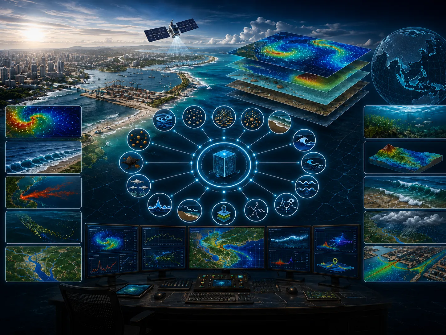
CONTEXTField conditions and systems being assessed
Enter at least two characters.
A wide range of numerical modeling modules can be applied to address coastal and marine challenges.
This page includes a one-page leaflet that can be opened in a full-image popup. It helps present the core CORZ service clearly and convincingly during project discussions, executive briefings, and decision-support meetings.
With a more proportional balance between visuals and text, the page feels brighter and more energetic while still keeping the important technical context visible and easy to understand.
Use this leaflet as a concise visual entry point before moving into the more detailed technical explanation.
Clarity before a decision is made
A wide range of numerical modeling modules can be applied to address coastal and marine challenges.
The physical parameters to be simulated (e.g., currents, water levels, waves, temperature, and others).
Define when and how to use modeling modules, including required data, configuration, validation, and scenarios.
Non-representative models, insufficient data, weak validation, and over-interpretation.
Transparent, validated models that respond to scenarios at the decision scale.
The Hydrodynamic Module simulates variations in water levels and current circulation generated by multiple driving forces, including tides, wind, river discharge, and wave-induced radiation stress…
Learn more →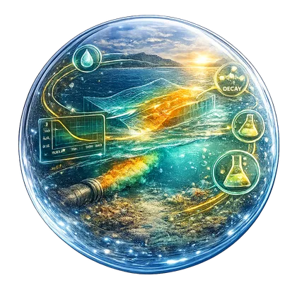
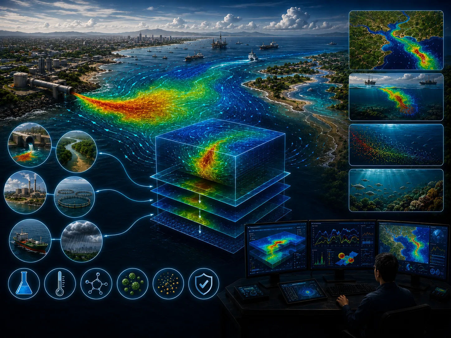
The Advection–Dispersion Module simulates the transport, dispersion, and decay of dissolved or suspended substances and materials within aquatic environments.
Learn more →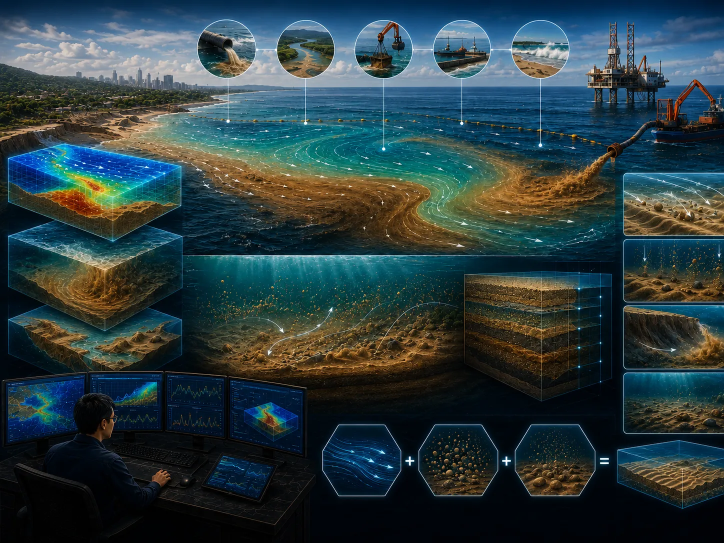
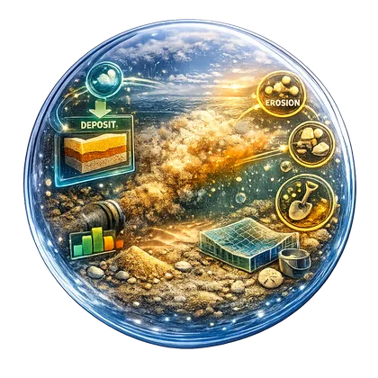
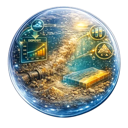
The Bottom Sediment Transport Module simulates the erosion, transport, deposition, and accumulation of bottom sediments.
Learn more →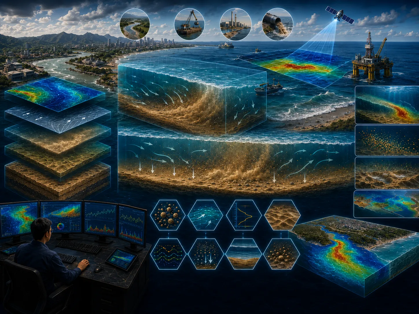
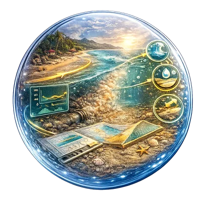
The Water Column Sediment Transport Module simulates the transport, dispersion, settling, erosion, and deposition of suspended sediments throughout the water column.
Learn more →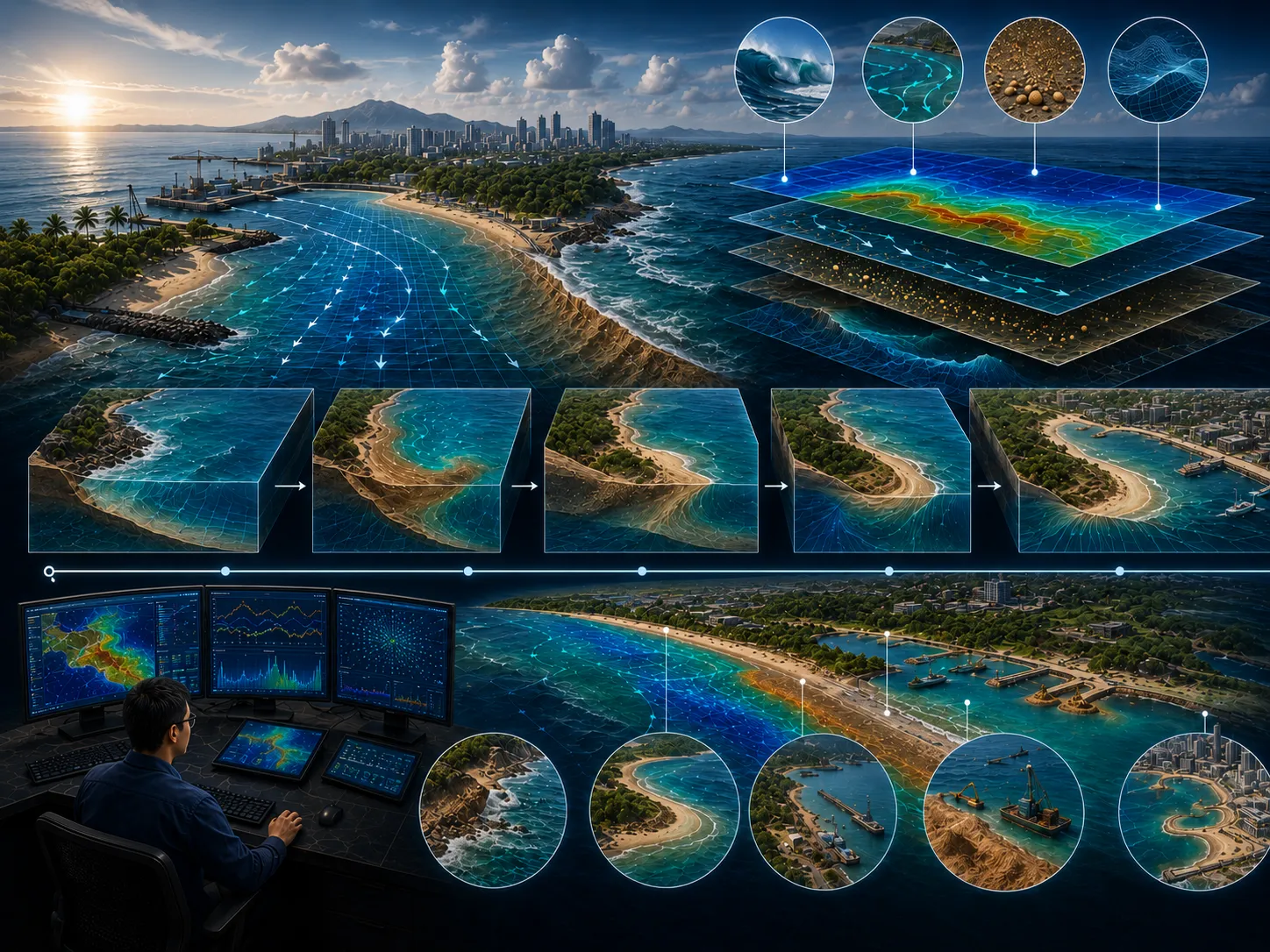
The Coastal Morphology Module is an integrated numerical modeling system that combines wave, hydrodynamic, and sediment transport modules to simulate the time-dependent evolution of coastal morphology.
Learn more →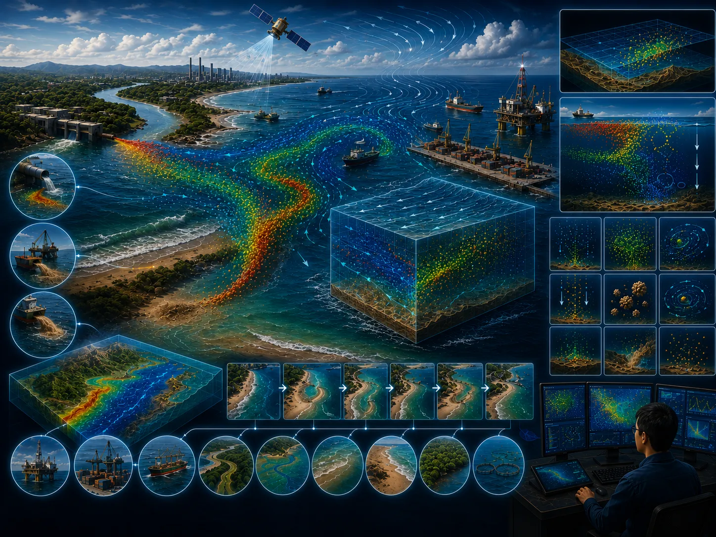
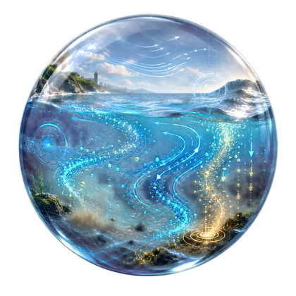
The Particle Tracking Module is one of the most efficient tools for studying the distribution of dissolved and suspended particles in aquatic environments.
Learn more →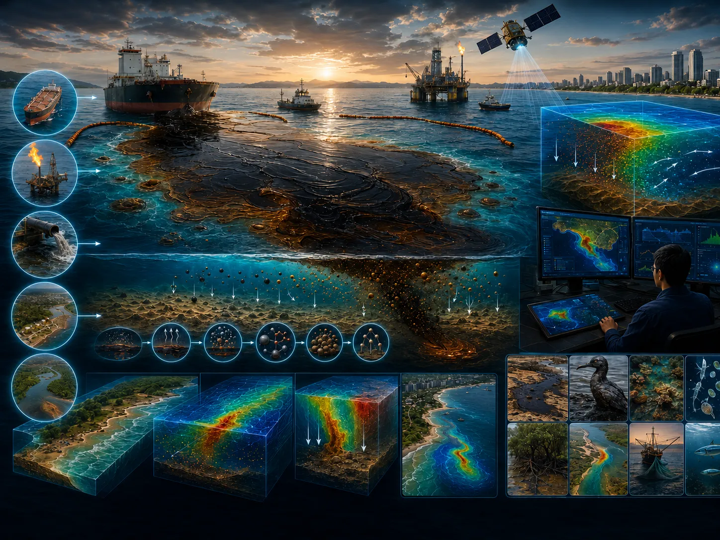
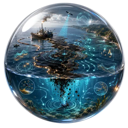
The Oil Spill Analysis Module simulates the physical and chemical processes governing the transport, weathering, and fate of spilled oil in marine environments.
Learn more →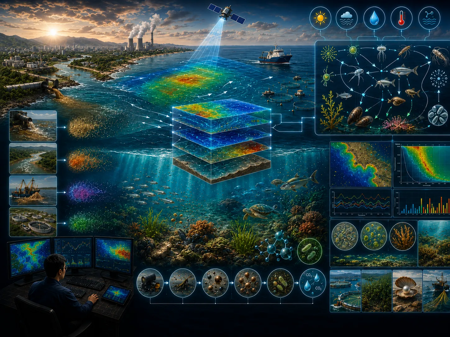
The Ecosystem Model Module is a numerical modeling system designed to simulate aquatic ecosystem conditions using either user-defined ecological models or established ecological formulations.
Learn more →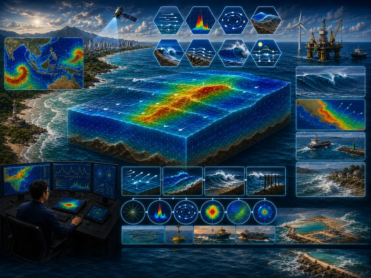
The Spectral Wave Model Module is a new-generation numerical model for simulating wind-generated waves on unstructured meshes.
Learn more →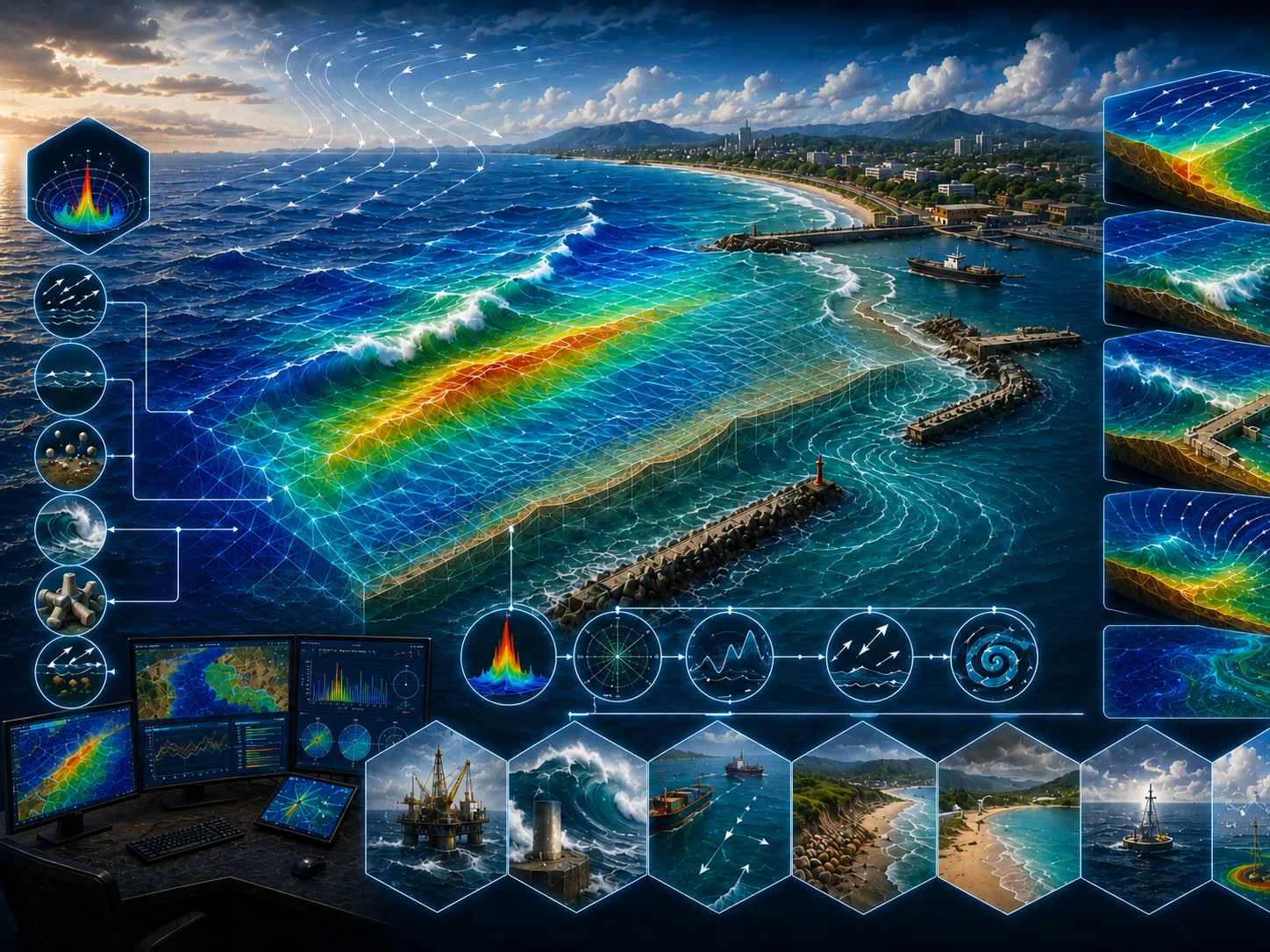
The Shallow-Water Spectral Wave Model Module is well suited for simulating wind-generated wave propagation in shallow waters, including wave formation processes and the dissipation of short-period waves,…
Learn more →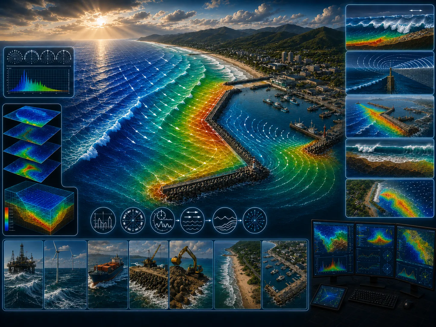
The Parabolic Mild Slope Wave Model Module is a linear wave refraction–diffraction model based on a parabolic approximation of the elliptic mild-slope equation.
Learn more →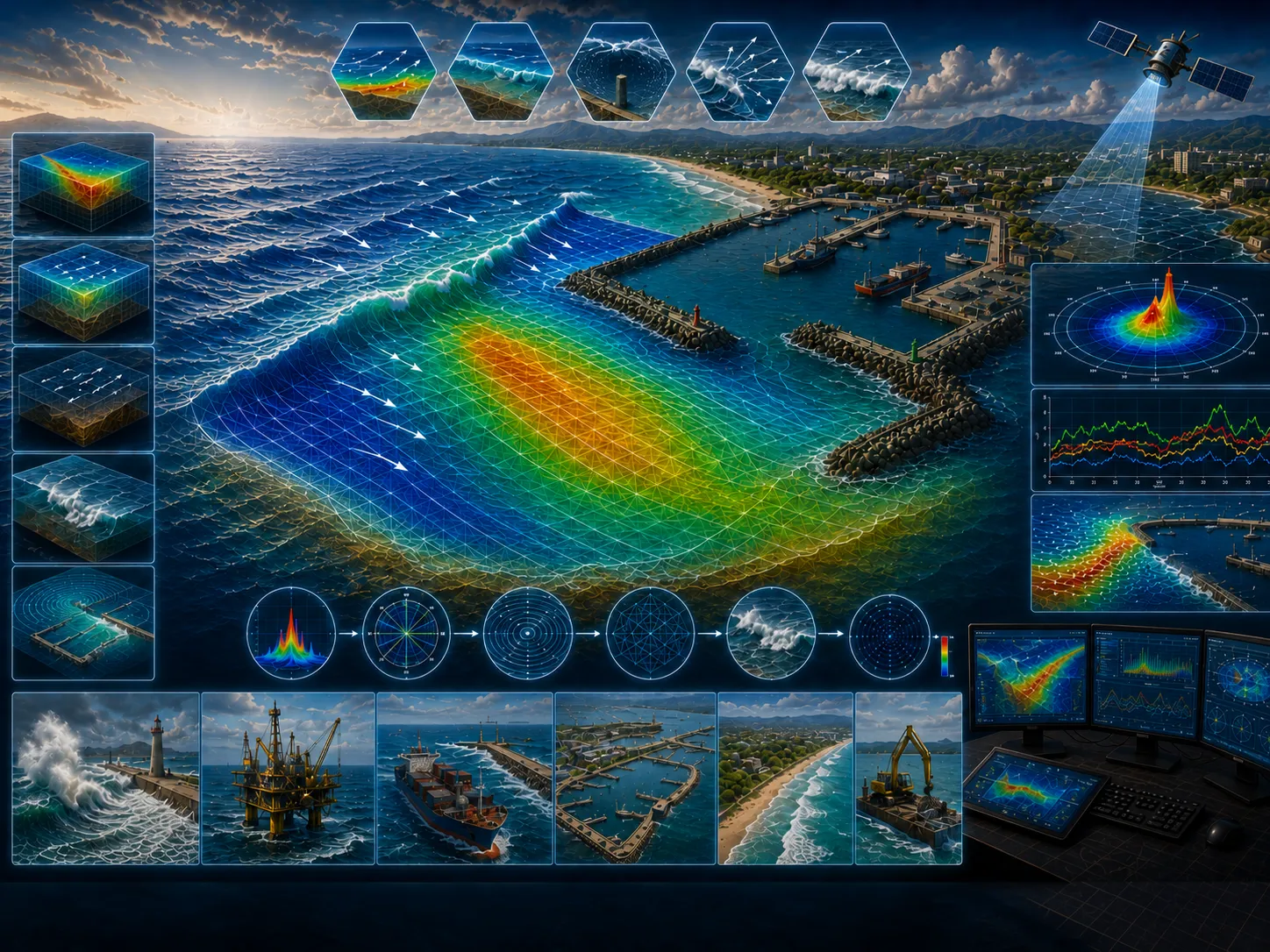
The Elliptic Mild Slope Wave Model Module uses an efficient numerical solution of the mild-slope equation.
Learn more →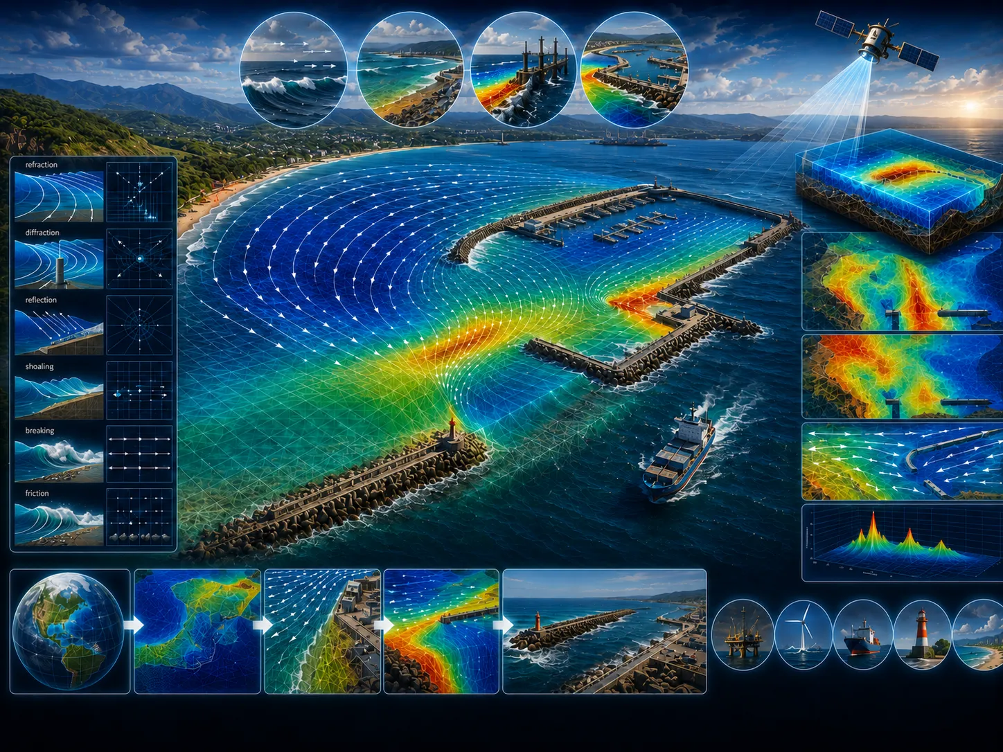
The Wave Refraction–Diffraction Module is an integrated wave modeling framework that combines several wave modules, including the Spectral Wave Model, the Shallow-Water Spectral Wave Model, the Parabolic…
Learn more →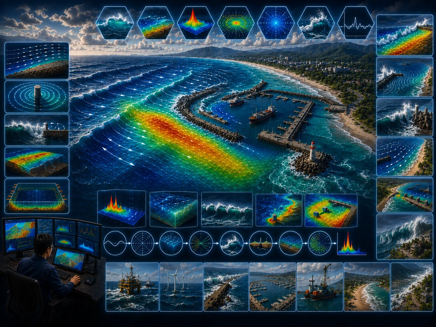
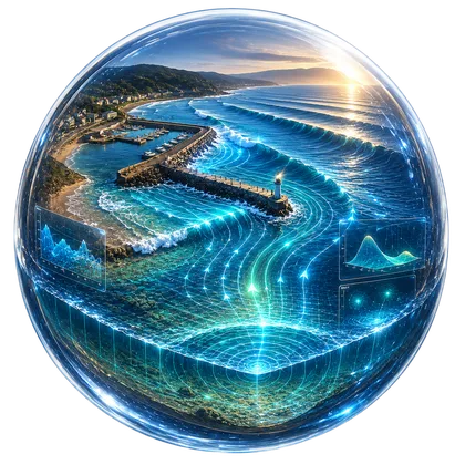
The Boussinesq Wave Model Module is an advanced wave modeling module that uses complex numerical formulations.
Learn more →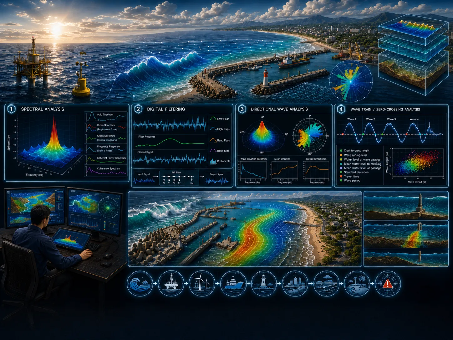
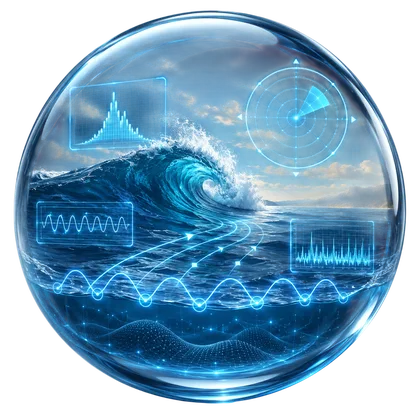
The Wave Analysis Tools Module is an advanced analytical module designed to analyze wave time-series data obtained from physical models, numerical simulations, or field observations.
Learn more →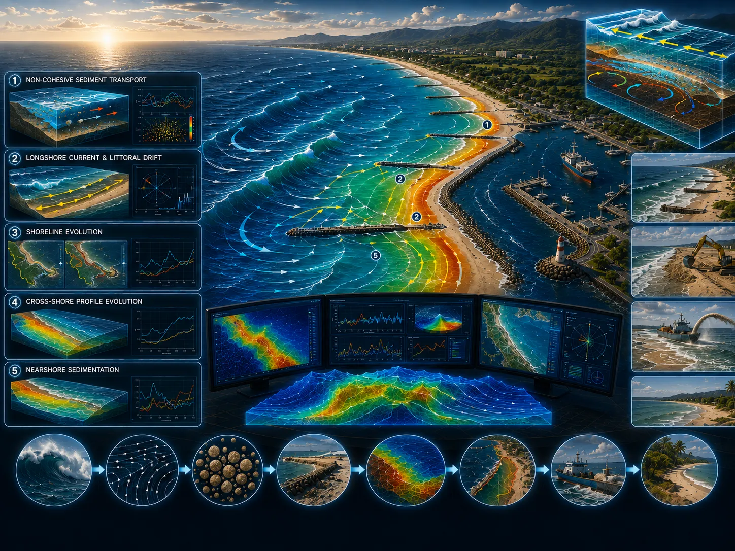
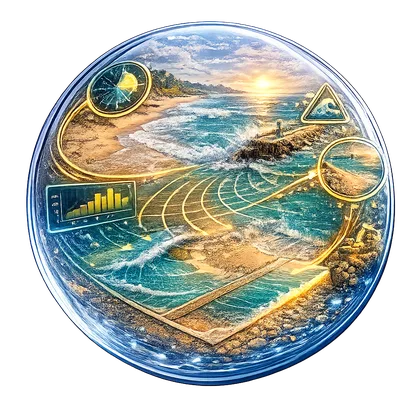
The Littoral Processes and Shoreline Dynamics Model Module is an integrated modeling package designed to simulate non-cohesive sediment transport associated with waves and currents, littoral drift,…
Learn more →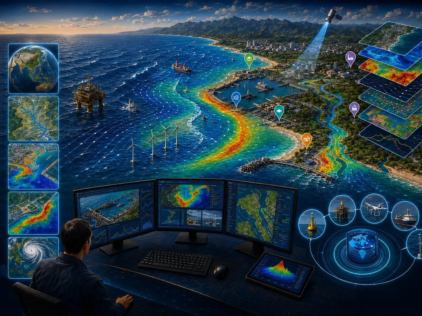
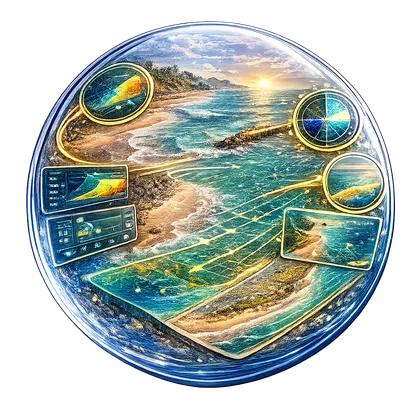
The Marine GIS Module allows the results of successfully simulated models to be presented and managed within a Geographic Information System (GIS) framework.
Learn more →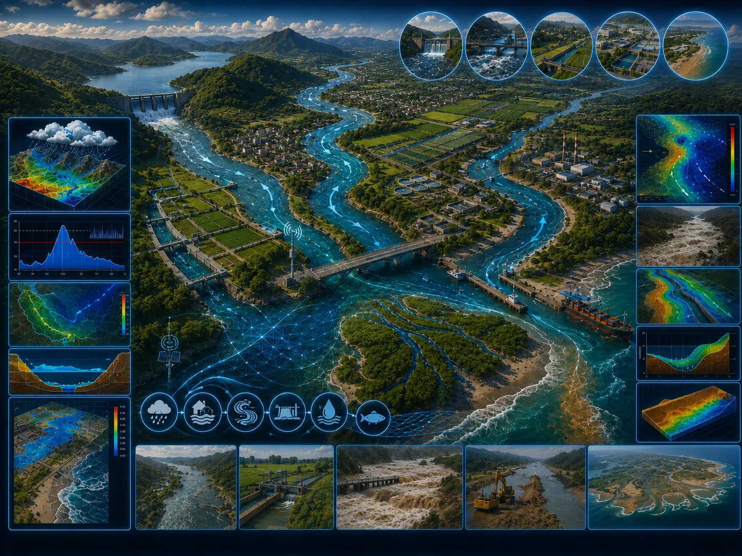
The river flow modeling module is designed to simulate river flow, water quality, and sediment transport in estuaries, rivers, irrigation systems, canals, and other water networks.
Learn more →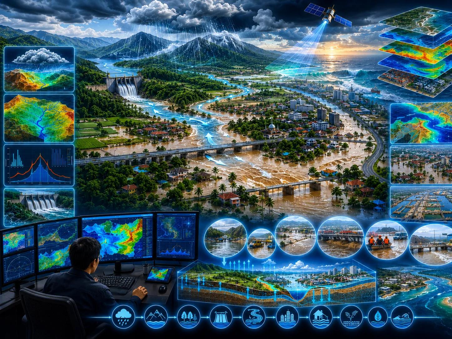
The inland flooding module is an integrated dynamic module that combines hydrodynamic modeling and river flow modeling within a hydrological modeling package.
Learn more →Field surveys, in-situ measurements, laboratory results, historical records, and operating information as required.
Satellite imagery, mapping, spatial analysis, temporal change, and integration of multiple data sources.
Model setup, calibration, validation, existing–planned–extreme scenarios, and sensitivity analysis.
Metadata, quality controls, assumptions, limitations, data versions, and processing lineage are documented.
Objectives, study area, available data, additional needs, initial risks, and recommended level of detail.
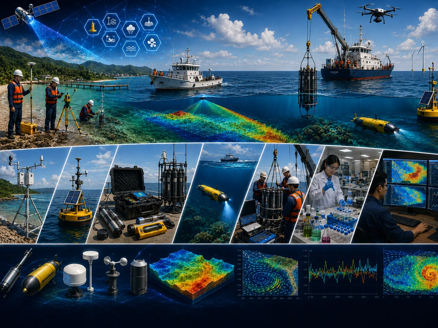
Quality-controlled data, thematic maps, time series, indicators, and comparable visualizations.
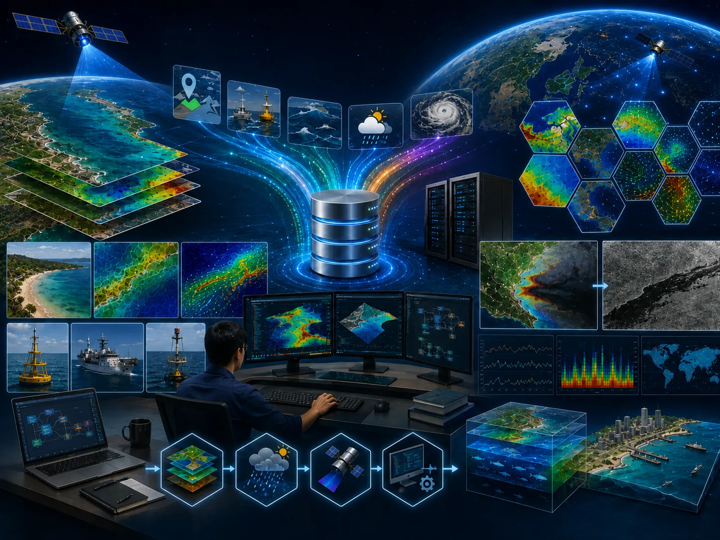
Comparison of existing conditions, alternatives, extremes, sensitivities, consequences, and mitigation options.

Methods, results, limitations, recommendations, action priorities, and stakeholder presentation materials.
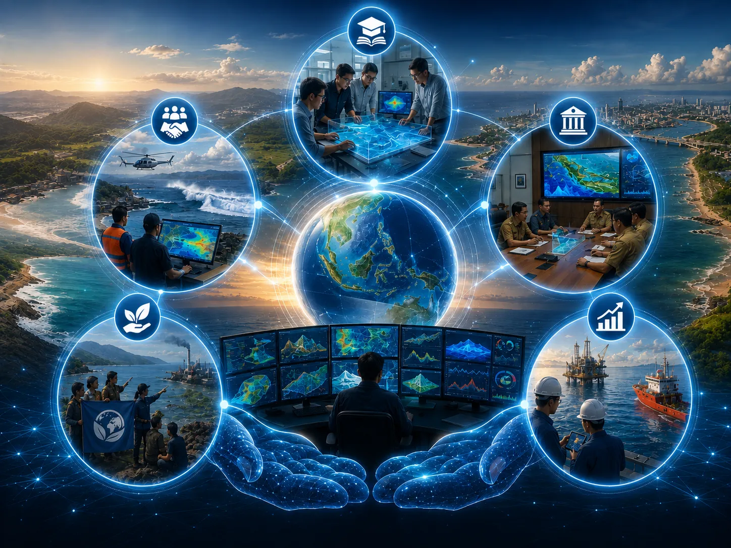
Assumptions, data, variability, and limitations are stated so decision risk is not hidden.
Alternative locations, designs, operations, or policies are assessed using consistent indicators.
Data needs and analysis depth are proportionate to risk so resources are used efficiently.
Findings and recommendations are transparent for technical, management, regulatory, and partner review.
Objectives, users, location, project phase, problems, constraints, and the decision to support.
Methods, data, surveys, models, schedule, team, deliverables, review gates, and resource estimate.
Collection, inspection, harmonization, documentation, and data-sufficiency assessment.
Processing, modeling, validation, option comparison, sensitivity, and risk evaluation.
Maps, report, executive brief, presentation, supporting data, and follow-up plan.
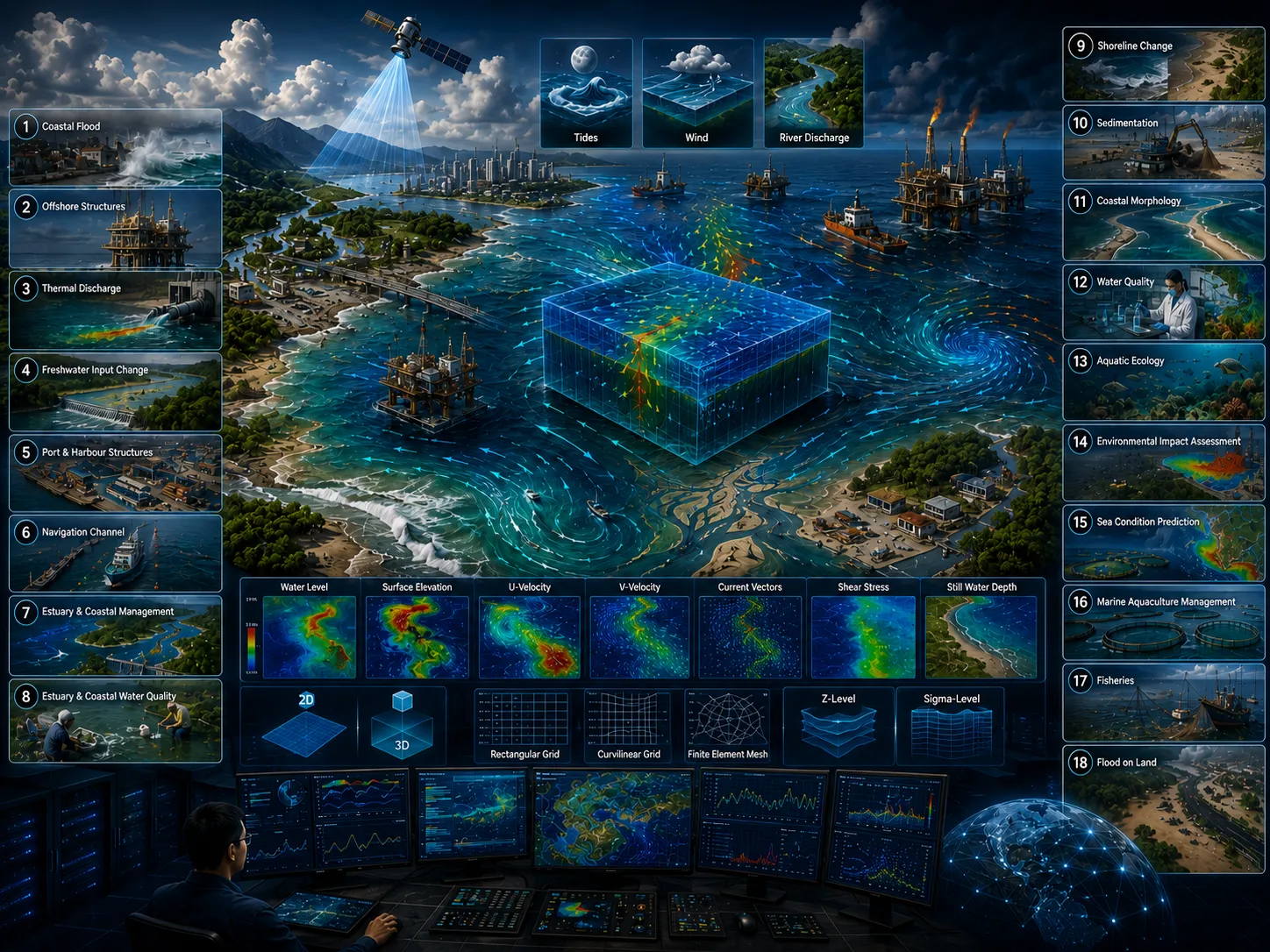
A wide range of numerical modeling modules can be applied to address coastal and marine challenges. Each module offers specific capabilities designed for particular applications. Virtually every coastal and ocean engineering problem can be effectively analyzed using numerical modeling, provided that the most appropriate modeling module is selected. Choosing the right model depends on several technical considerations, including:
(1) Parameters to be modeled (current, sea level, waves, temperature, etc.). (2) Type of water body as the modeling location (estuary, open or semi-enclosed bay, strait, etc.). (3) Type of model used (one-dimensional / 1D, two-dimensional / 2D, or three-dimensional / 3D).
(4) Type of model used (one-dimensional / 1D, two-dimensional / 2D, or three-dimensional / 3D). (5) Type of horizontal grid used (rectilinear, curvilinear, finite element, and others). (6) Type of vertical grid used (z-level, sigma-level, and others).
(7) The grid size used. (8) The approaches and assumptions used in the numerical model. (9) The numerical grid solution used (grid discretization). (10) The numerical time solution used (implicit or explicit methods). (11) The programming language and the efficiency of the programming workflow used.
CORZ turns data, numerical modeling, and multidisciplinary expertise into actionable recommendations for government, industry, researchers, and civil society organizations.
Learn more →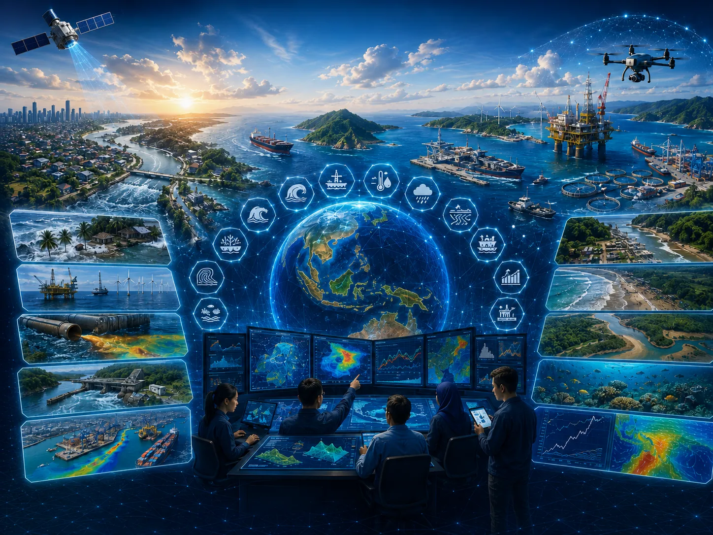
Indonesia, with one of the world's largest marine areas and longest coastlines, offers tremendous opportunities for offshore development and sustainable ocean-based industries.
Learn more →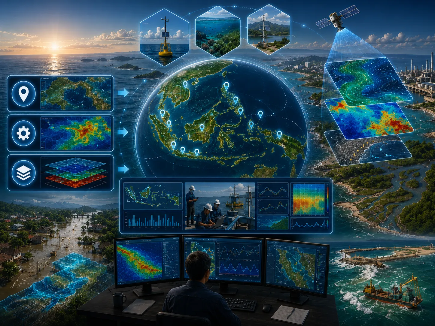
Various studies and assessments using modeling technology have been conducted in several Indonesian waters.
Learn more →Services can be provided to support the application of modeling technology for studies and assessments in coastal areas and aquatic environments, in accordance with relevant model applications, model…
Learn more →The CORZ team will review the objective, scope, data availability, risk level, schedule, and required outputs to prepare a proportionate approach.
Share the location, objectives, key challenges, available data, and expected outputs. The CORZ team will help define a proportionate technical approach.