

CONTEXTField conditions and systems being assessed
Enter at least two characters.
A stable river mouth is one in which there are no significant changes in channel depth, bed elevation, or morfological configuration over time.
This page includes a one-page leaflet that can be opened in a full-image popup. It helps present the core CORZ service clearly and convincingly during project discussions, executive briefings, and decision-support meetings.
With a more proportional balance between visuals and text, the page feels brighter and more energetic while still keeping the important technical context visible and easy to understand.
Use this leaflet as a concise visual entry point before moving into the more detailed technical explanation.

Clarity before a decision is made
A stable river mouth is one in which there are no significant changes in channel depth, bed elevation, or morfological configuration over time.
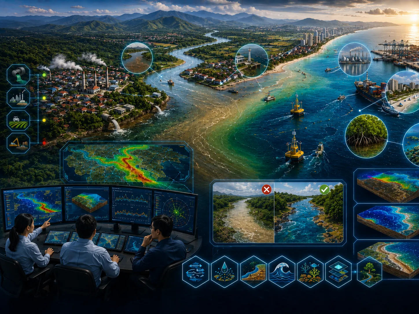
When the balance between riverine and marine forces is disturbed, the stability of the estuary can be significantly affected. Even relatively small changes in river discharge, sediment supply, wave climate, or coastal hydrodynamics may trigger substantial morfological changes that require long recovery periods.
Define the approach, priorities, and actions for river mouth stability using traceable evidence.
Environmental impact, design failure, operational disruption, uncontrolled cost, and weak assumptions.
Comparable options, quantified risk, and implementable recommendations.
This aspect is assessed to clarify its implications for river mouth stability.

This aspect is assessed to clarify its implications for river mouth stability.
This aspect is assessed to clarify its implications for river mouth stability.

This aspect is assessed to clarify its implications for river mouth stability.
This aspect is assessed to clarify its implications for river mouth stability.

This aspect is assessed to clarify its implications for river mouth stability.

Field surveys, in-situ measurements, laboratory results, historical records, and operating information as required.

Satellite imagery, mapping, spatial analysis, temporal change, and integration of multiple data sources.

Model setup, calibration, validation, existing–planned–extreme scenarios, and sensitivity analysis.
Metadata, quality controls, assumptions, limitations, data versions, and processing lineage are documented.
Objectives, study area, available data, additional needs, initial risks, and recommended level of detail.
Quality-controlled data, thematic maps, time series, indicators, and comparable visualizations.
Comparison of existing conditions, alternatives, extremes, sensitivities, consequences, and mitigation options.
Methods, results, limitations, recommendations, action priorities, and stakeholder presentation materials.
Assumptions, data, variability, and limitations are stated so decision risk is not hidden.
Alternative locations, designs, operations, or policies are assessed using consistent indicators.
Data needs and analysis depth are proportionate to risk so resources are used efficiently.
Findings and recommendations are transparent for technical, management, regulatory, and partner review.
Objectives, users, location, project phase, problems, constraints, and the decision to support.
Methods, data, surveys, models, schedule, team, deliverables, review gates, and resource estimate.
Collection, inspection, harmonization, documentation, and data-sufficiency assessment.
Processing, modeling, validation, option comparison, sensitivity, and risk evaluation.
Maps, report, executive brief, presentation, supporting data, and follow-up plan.
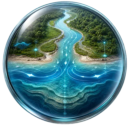
A stable river mouth is one in which there are no significant changes in channel depth, bed elevation, or morfological configuration over time. In other words, the balance between sediment delivered by river discharge and the forces exerted by the open sea remains in equilibrium, allowing the river mouth to maintain its natural form and hydraulic characteristics. Maintaining river mouth stability is essential because estuaries are highly dynamic environments where freshwater inflows interact continuously with tides, waves, currents, and marine processes.
When the balance between riverine and marine forces is disturbed, the stability of the estuary can be significantly affected. Even relatively small changes in river discharge, sediment supply, wave climate, or coastal hydrodynamics may trigger substantial morfological changes that require long recovery periods. One of the primary consequences of these changes is the alteration of circulation patterns within the river mouth, resulting from modifications to channel geometry and water depth. These morfological changes can permanently alter the mixing zone between low-salinity freshwater and high-salinity seawater, leading to significant changes in estuarine ecosystems, including aquatic vegetation, fish habitats, and other biological communities.
Numerical modeling provides an effective scientific tool for simulating changes in river mouth morphology and bathymetric profiles under a wide range of environmental conditions. Simulations can be performed for short-term extreme events, such as floods and storms, as well as long-term scenarios to evaluate cumulative morfological changes caused by riverine and coastal processes.
Hydrodynamic and River Flow Models are used to simulate circulation patterns within rivers and estuaries. Sediment supplied from both riverine and marine sources is simulated using Bed-Load Sediment Transport, Suspended Sediment Transport, and Particle Tracking Models. Wave-related processes are evaluated using Spectral Wave Models, Shallow Water Spectral Wave Models, Parabolic Mild Slope Models, Elliptic Mild Slope Models, Wave Refraction–Diffraction Models, Boussinesq Wave Models, and Wave Analysis Tools to quantify the influence of wave energy on river mouth morphology and bathymetric evolution. The combined effects of hydrodynamics, sediment transport, and wave processes are then integrated within Coastal Morphology and Littoral Processes and Shoreline Dynamics Models to simulate long-term changes in river mouth geometry and shoreline evolution.
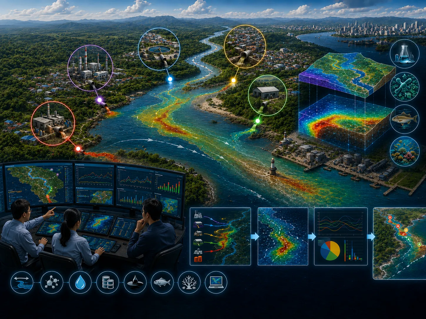
River systems receive pollutants from numerous point sources distributed throughout the watershed, extending from upstream headwaters to downstream reaches within the river basin.
Learn more →Economic activities along coastal areas are typically concentrated in highly urbanized regions where population growth and urban expansion extend toward the shoreline.
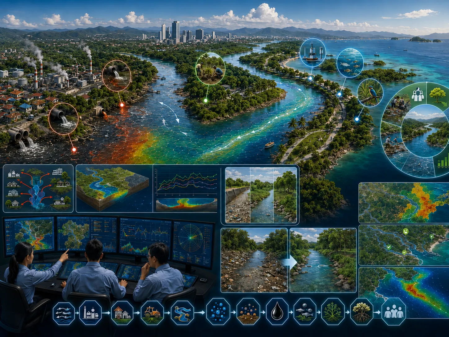
Learn more →Rivers experiencing a decline in their environmental carrying capacity due to pollutant discharges from various activities along the watershed require well-planned rehabilitation programs.
Learn more →Estuarine waters are among the most environmentally sensitive aquatic systems because they are directly influenced by both upstream river conditions and marine processes.
Learn more →The CORZ team will review the objective, scope, data availability, risk level, schedule, and required outputs to prepare a proportionate approach.
Share the location, objectives, key challenges, available data, and expected outputs. The CORZ team will help define a proportionate technical approach.