
CONTEXTField conditions and systems being assessed
Enter at least two characters.
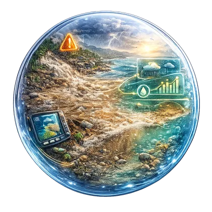
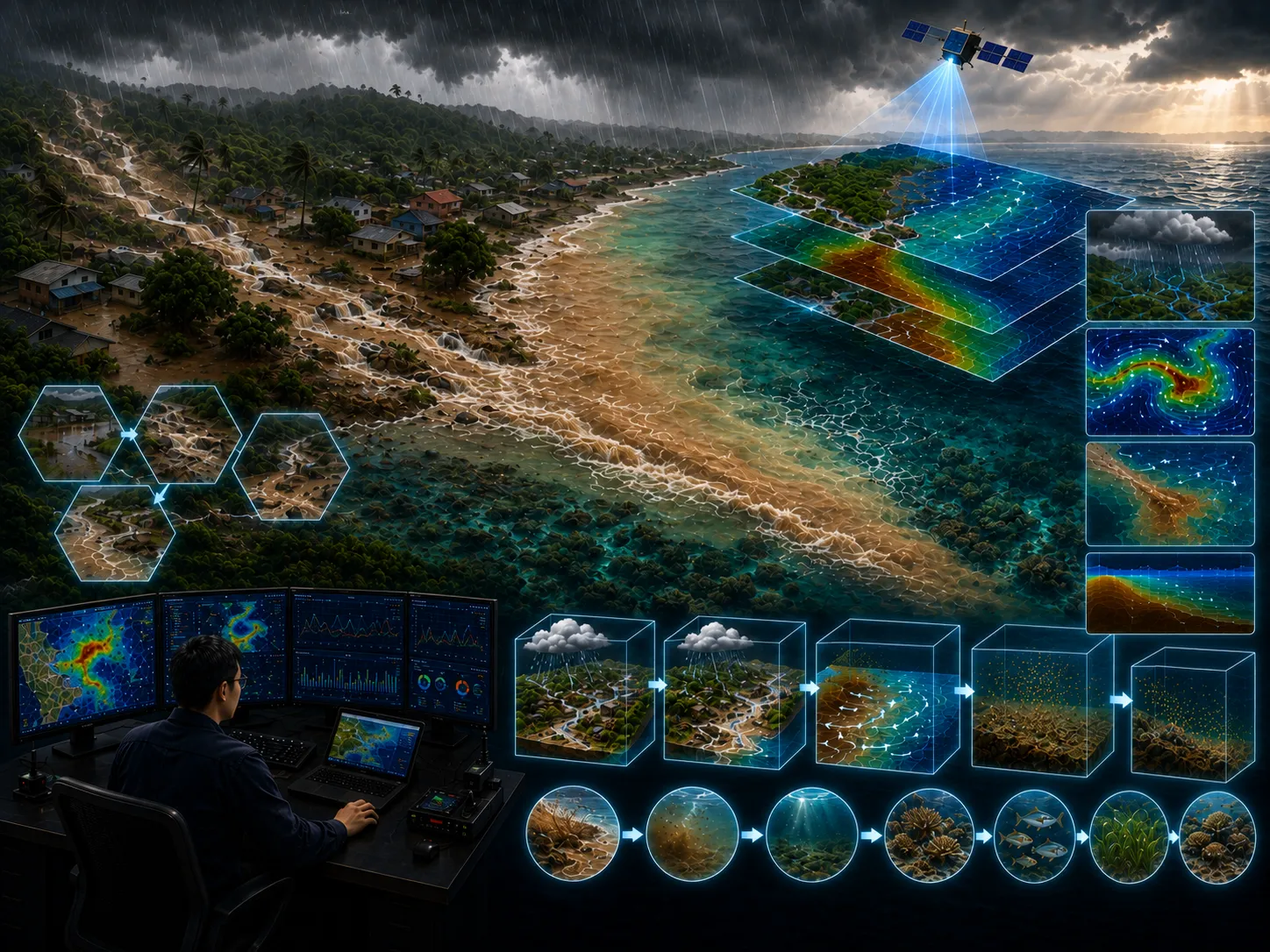
Intense and prolonged rainfall over coastal areas generates significant surface runoff that flows directly into coastal waters, carrying land-derived materials from the surrounding landscape.
This page includes a one-page leaflet that can be opened in a full-image popup. It helps present the core CORZ service clearly and convincingly during project discussions, executive briefings, and decision-support meetings.
With a more proportional balance between visuals and text, the page feels brighter and more energetic while still keeping the important technical context visible and easy to understand.
Use this leaflet as a concise visual entry point before moving into the more detailed technical explanation.

Clarity before a decision is made
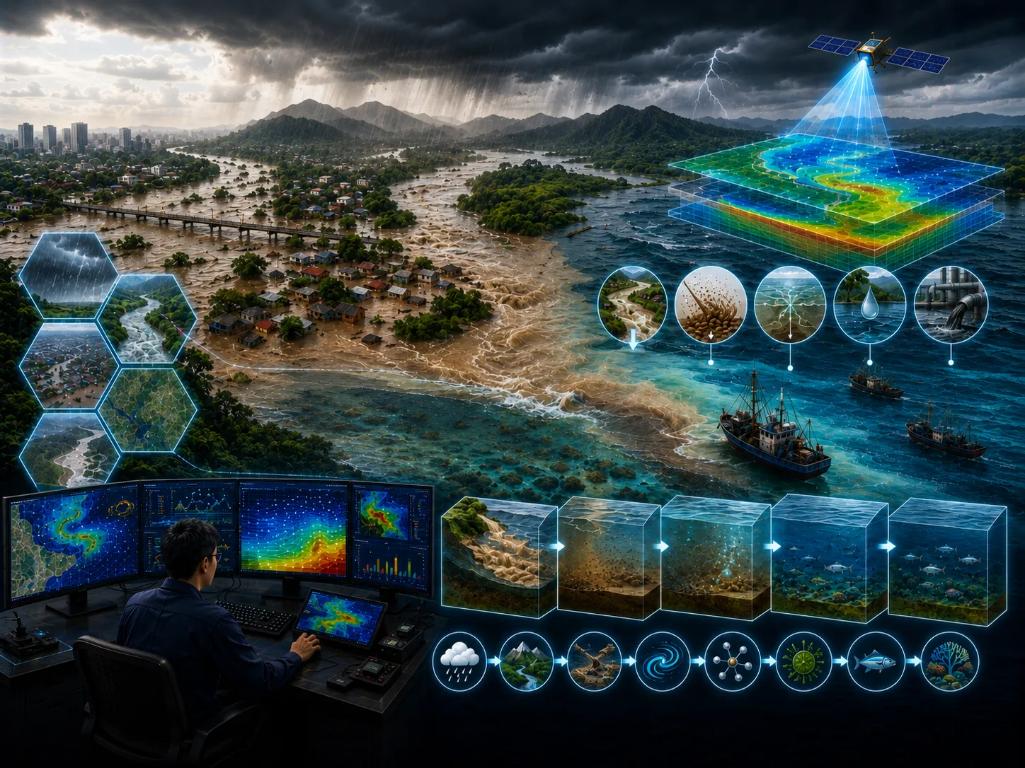
Intense and prolonged rainfall over coastal areas generates significant surface runoff that flows directly into coastal waters, carrying land-derived materials from the surrounding landscape.
Coastal areas without river inflows are generally dominated by coral reef ecosystems. In these environments, reductions in salinity caused by freshwater inflow, together with increased concentrations of fine suspended sediments, can severely stress coral reefs and indirectly disrupt the habitats and biological communities they support.
Define the approach, priorities, and actions for land flooding using traceable evidence.
Environmental impact, design failure, operational disruption, uncontrolled cost, and weak assumptions.
Comparable options, quantified risk, and implementable recommendations.
This aspect is assessed to clarify its implications for land flooding.
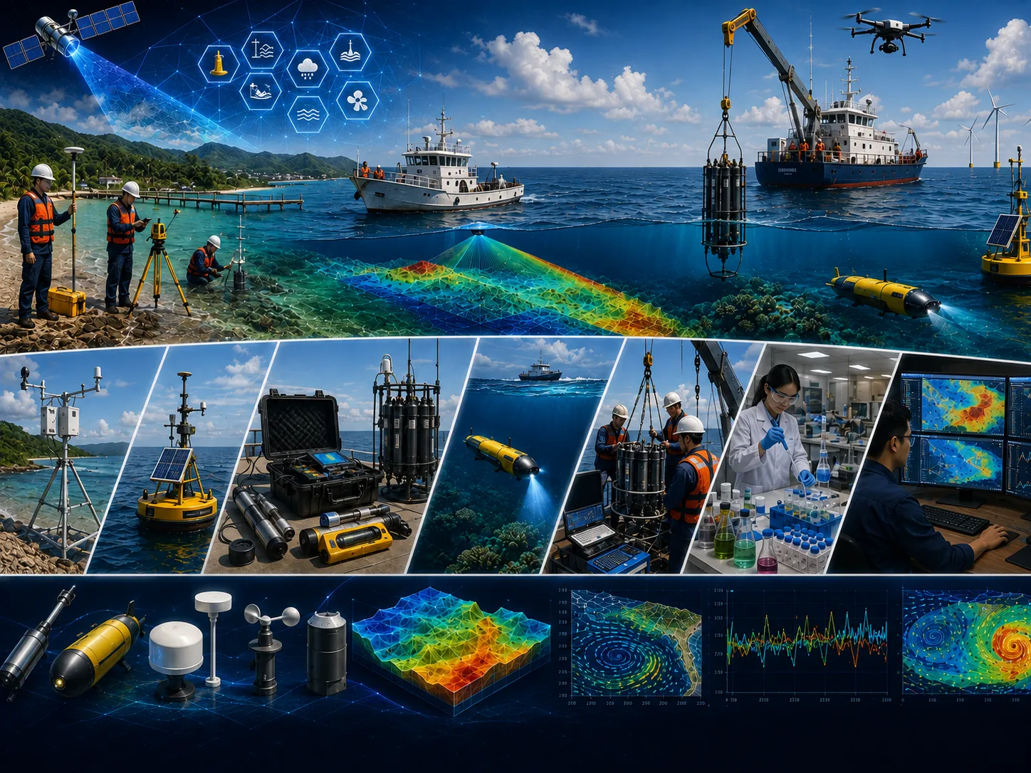
This aspect is assessed to clarify its implications for land flooding.

This aspect is assessed to clarify its implications for land flooding.

This aspect is assessed to clarify its implications for land flooding.

This aspect is assessed to clarify its implications for land flooding.

This aspect is assessed to clarify its implications for land flooding.
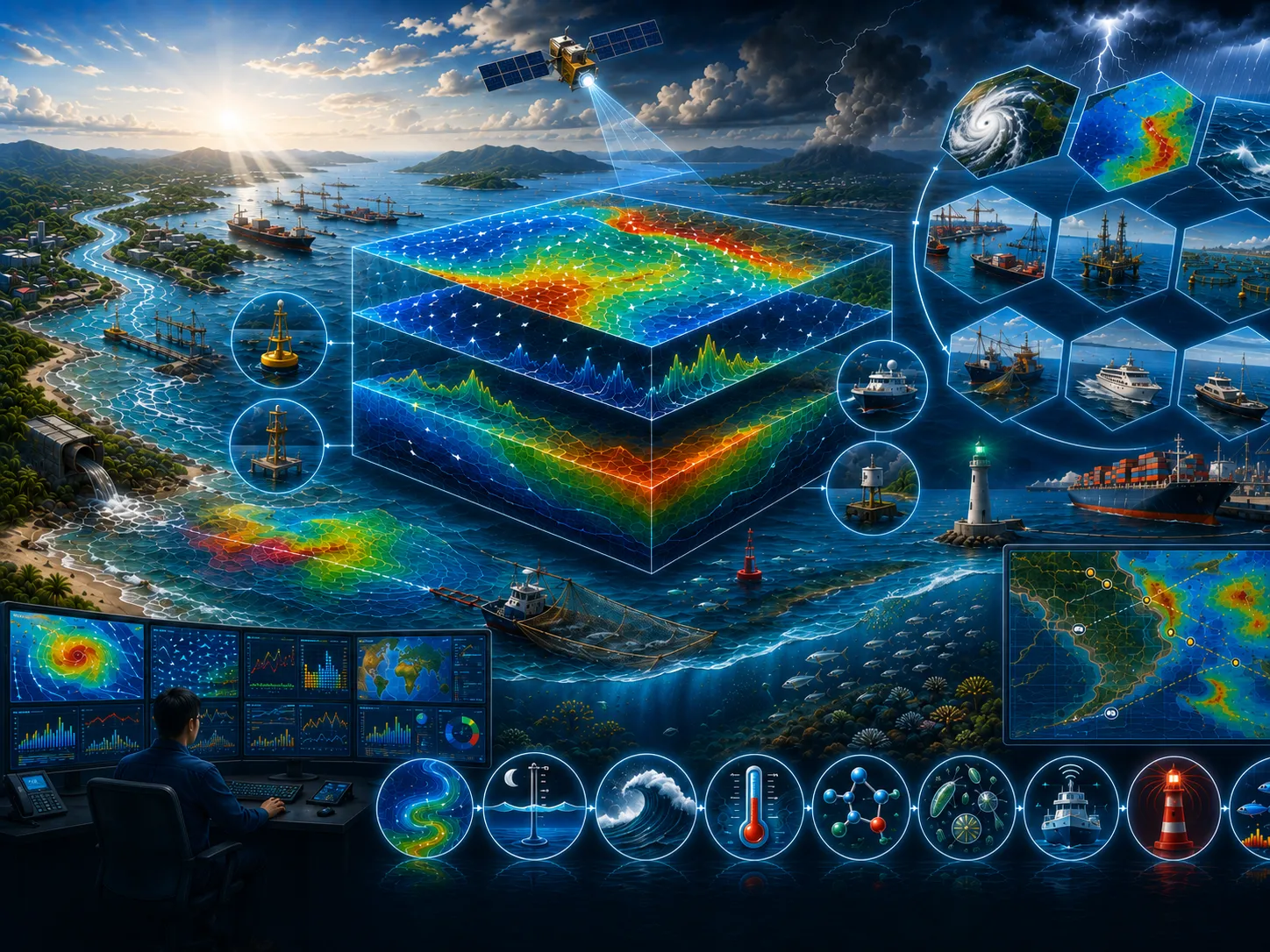
Field surveys, in-situ measurements, laboratory results, historical records, and operating information as required.
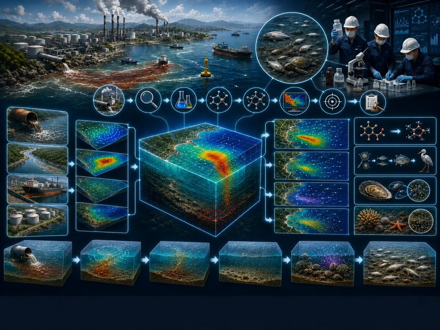
Satellite imagery, mapping, spatial analysis, temporal change, and integration of multiple data sources.
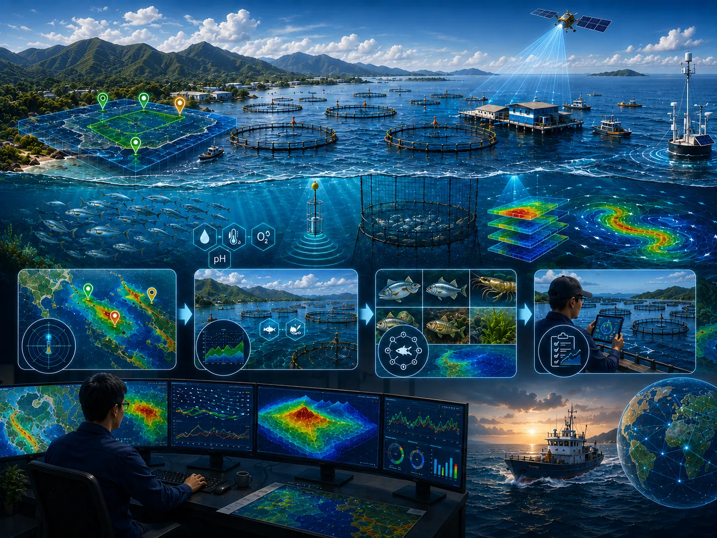
Model setup, calibration, validation, existing–planned–extreme scenarios, and sensitivity analysis.
Metadata, quality controls, assumptions, limitations, data versions, and processing lineage are documented.
Objectives, study area, available data, additional needs, initial risks, and recommended level of detail.
Quality-controlled data, thematic maps, time series, indicators, and comparable visualizations.
Comparison of existing conditions, alternatives, extremes, sensitivities, consequences, and mitigation options.
Methods, results, limitations, recommendations, action priorities, and stakeholder presentation materials.
Assumptions, data, variability, and limitations are stated so decision risk is not hidden.
Alternative locations, designs, operations, or policies are assessed using consistent indicators.
Data needs and analysis depth are proportionate to risk so resources are used efficiently.
Findings and recommendations are transparent for technical, management, regulatory, and partner review.
Objectives, users, location, project phase, problems, constraints, and the decision to support.
Methods, data, surveys, models, schedule, team, deliverables, review gates, and resource estimate.
Collection, inspection, harmonization, documentation, and data-sufficiency assessment.
Processing, modeling, validation, option comparison, sensitivity, and risk evaluation.
Maps, report, executive brief, presentation, supporting data, and follow-up plan.
Intense and prolonged rainfall over coastal areas generates significant surface runoff that flows directly into coastal waters, carrying land-derived materials from the surrounding landscape. These materials typically consist of humus, soil particles, and sediments eroded from the land surface. In addition to transporting suspended materials, surface runoff introduces large volumes of freshwater into the coastal environment. This freshwater input alters the physical characteristics of coastal waters and influences the surrounding ecosystem. Once discharged into the sea, coarse particles settle rapidly on the seabed, while finer sediments remain suspended and can be transported considerable distances offshore by coastal currents.
Coastal areas without river inflows are generally dominated by coral reef ecosystems. In these environments, reductions in salinity caused by freshwater inflow, together with increased concentrations of fine suspended sediments, can severely stress coral reefs and indirectly disrupt the habitats and biological communities they support. In contrast, estuarine environments with river mouths are commonly dominated by mangrove ecosystems, which are naturally adapted to freshwater inputs and suspended sediments. Furthermore, in low-wave-energy coastal environments, sediment accumulation may lead to shoreline morfological changes and seabed shallowing. These morfological changes modify local water circulation patterns, which can subsequently influence coastal ecosystem structure and ecological processes.
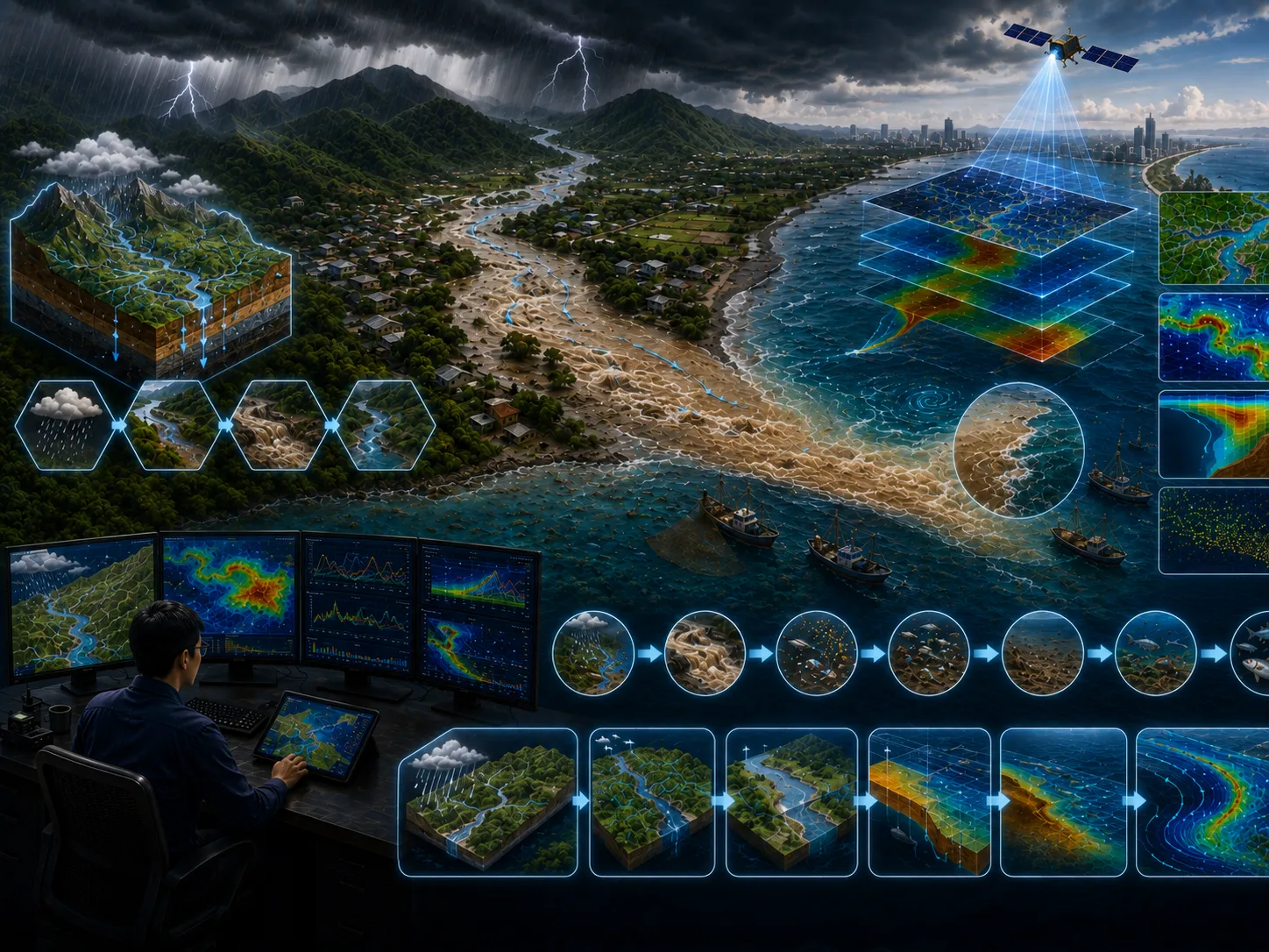
Advanced numerical modeling provides an effective scientific tool for evaluating the impacts of freshwater inflow and sediment transport resulting from surface runoff. Integrated modeling scenarios simulate the entire process, beginning with surface runoff generation and continuing through changes in coastal circulation, water levels, and sediment and particle transport within the receiving coastal waters.
The Land Flood Model simulates rainfall-runoff processes and overland flow across the watershed. The outputs from this model are subsequently used as input for the Hydrodynamic Model, which simulates changes in coastal circulation patterns and water levels. The transport, dispersion, and deposition of sediments and other particles entering coastal waters are then simulated using the Bottom Sediment Transport Model, Suspended Sediment Transport Model, and Particle Tracking Model.
The CORZ team will review the objective, scope, data availability, risk level, schedule, and required outputs to prepare a proportionate approach.
Share the location, objectives, key challenges, available data, and expected outputs. The CORZ team will help define a proportionate technical approach.